See on Scoop.it – Intel Free Press
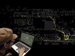
People use data visualization based on public information to find pollen-safe paths. “Say you’re located in one area of Portland (Ore.) and want to travel outdoors to another area.
See on www.intelfreepress.com
See on Scoop.it – Intel Free Press
People use data visualization based on public information to find pollen-safe paths. “Say you’re located in one area of Portland (Ore.) and want to travel outdoors to another area.
See on www.intelfreepress.com